Year - Revised August 2011
Scale - 1:24,000
Topo Lines - Yes
Contour Interval - 100 feet
Plastic
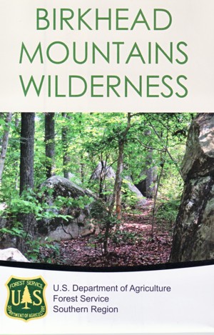
The Birkhead Mountains Wilderness is managed as part
of the Uwharrie National Forest in North Carolina. It
includes 4,790 acres at the northern end of the Uwharrie
Mountains and is made up of sevearl long, wooded ridges
and surrounding drainages. Elevations range from 450 feet
along some stream bottoms to 950 feet on Cedar Rock Mountain.
The moderately steep terrain is marked by rock outcrops and
is dissected by several small, clar streams which feed the
Uwharrie River. The forest cover is mostly old-growth
hardwoods, with some pine and a variety of understory
species.